When the quality and consistency of your imagery is important to you, whether you need your showhome captured or a video production showcasing the progress of your major commercial project, we'll help you achieve remarkable results.
We understand that each mapping, photographic or video project is unique, with its own special requirements. We'll work with you to customise a solution for your needs.
We take great pride in what we do. We love using our creativity, inventiveness, skills and experience to produce stunning imagery for our clients.
Aerial Vision holds a Part 102 Unmanned Aircraft Operator Certificate with the CAA.
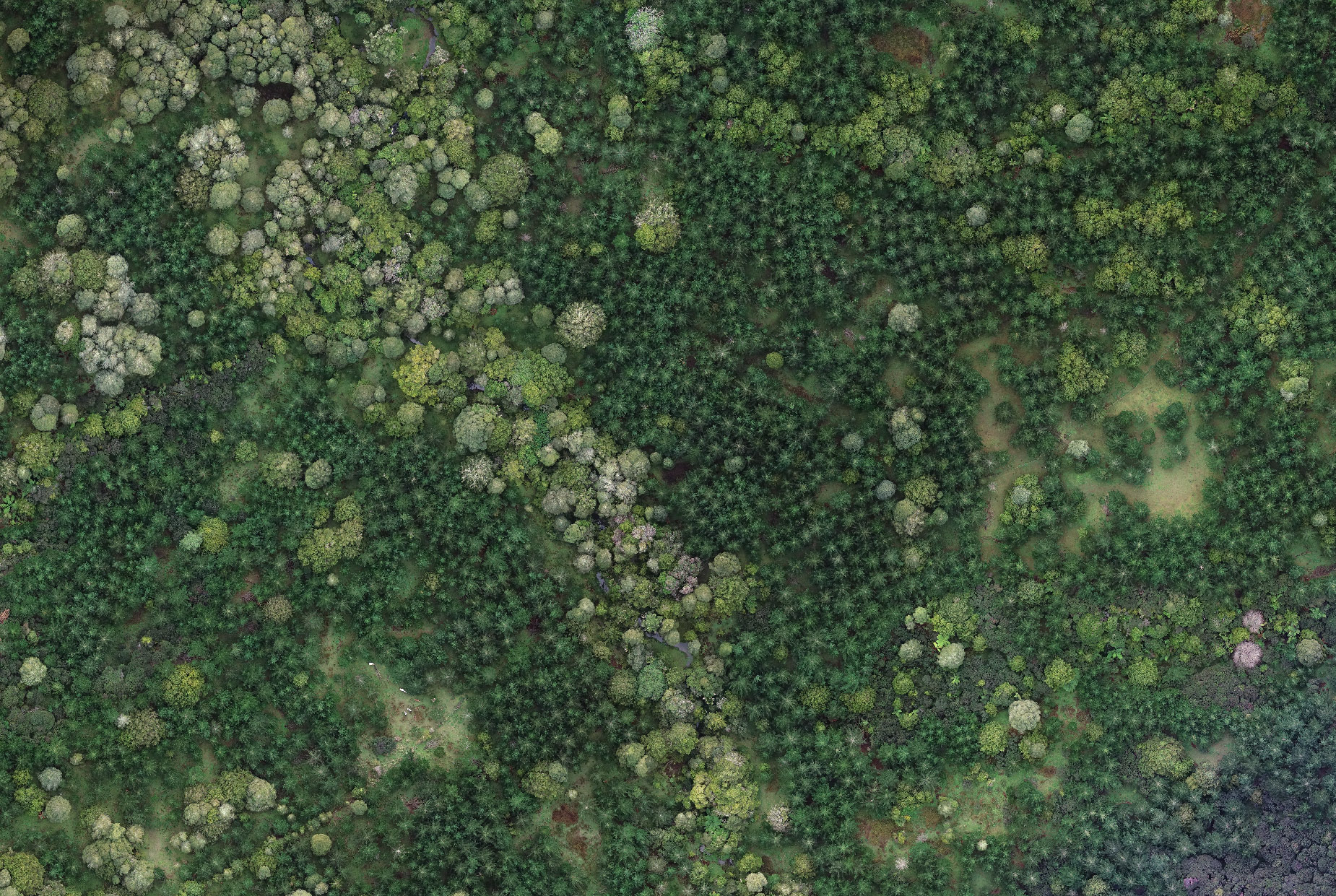 AERIAL SURVEYINGSurvey-grade GPS drones and ground units
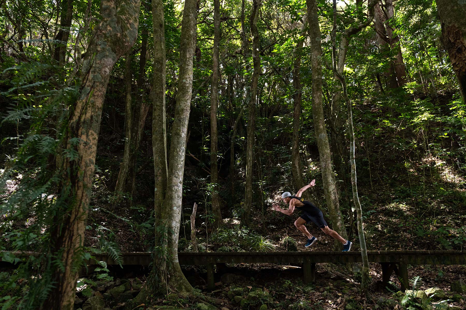 PROFESSIONAL PHOTOGRAPHERSWe’re passionate about what we do
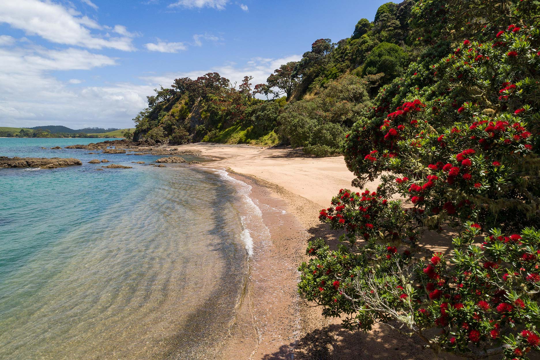 Stock Photos and VideoNorthland Images for commercial or artistic use
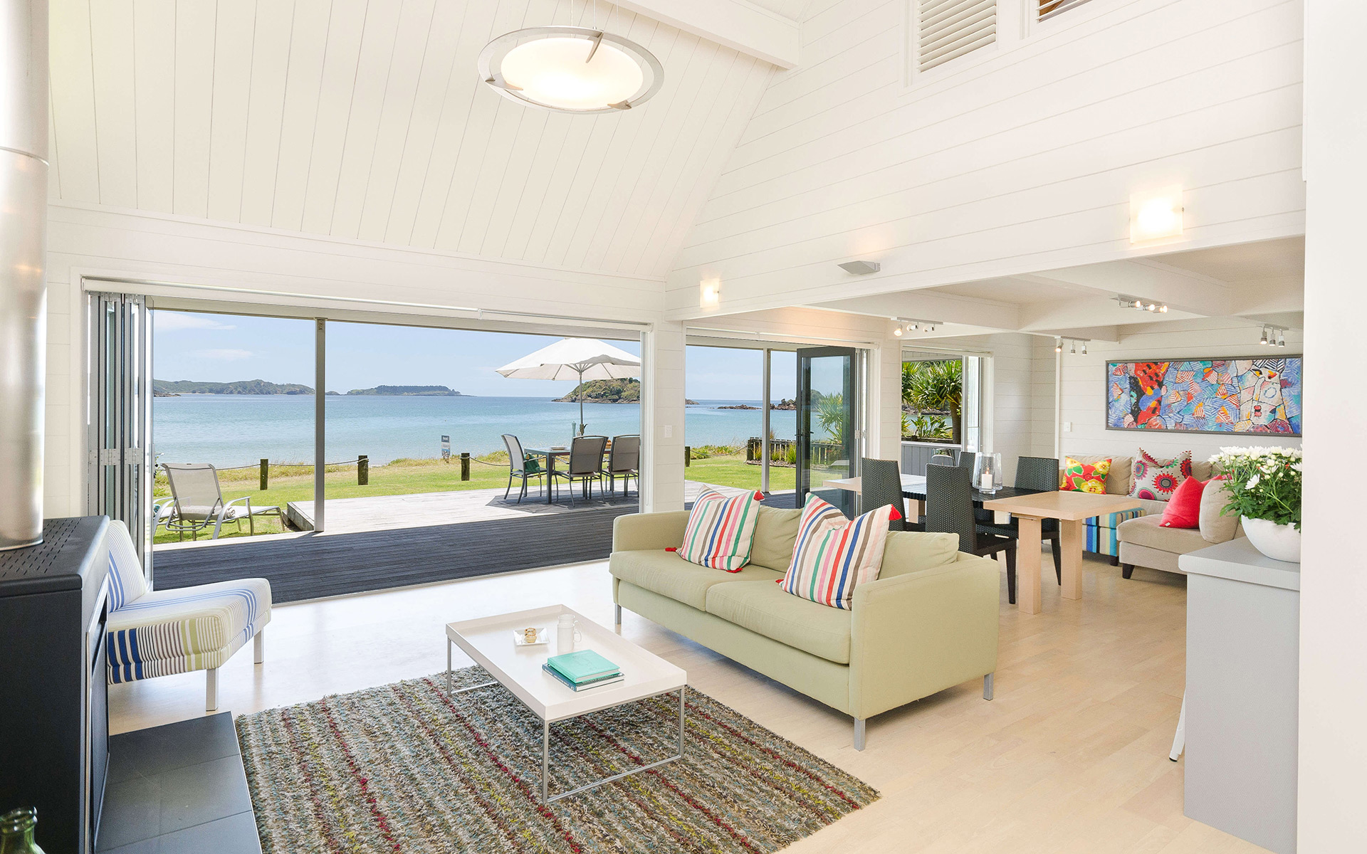 EYE-CATCHING IMAGESArchitectural Photography Experts
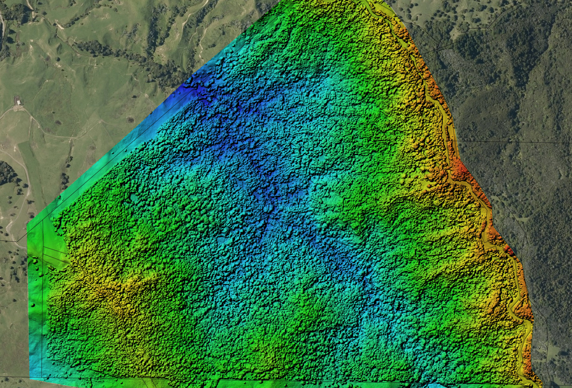 INDUSTRIAL AERIAL MAPPINGA current objective record of your site
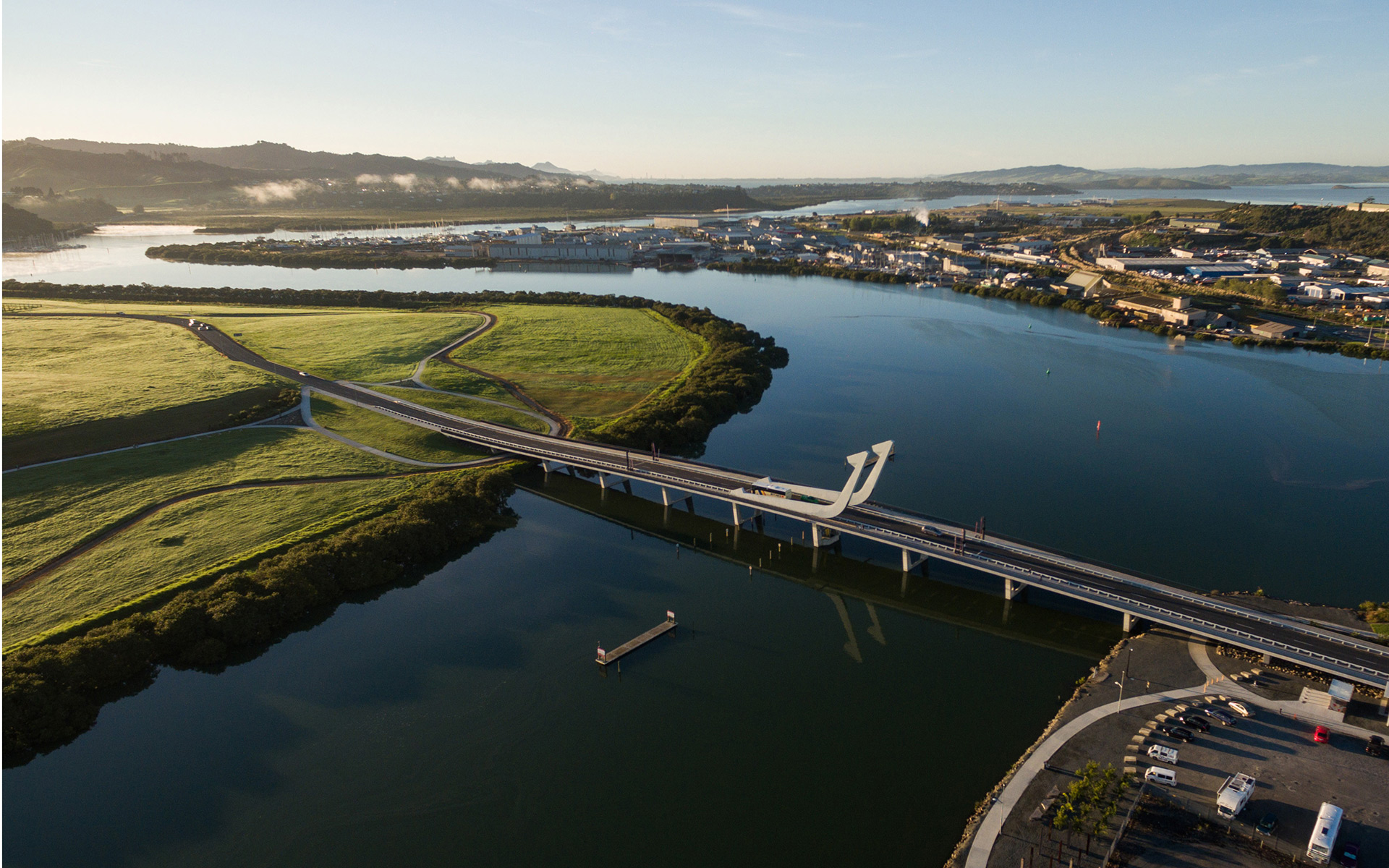 DRONE VIDEO EXPERTSBird’s eye view of your project
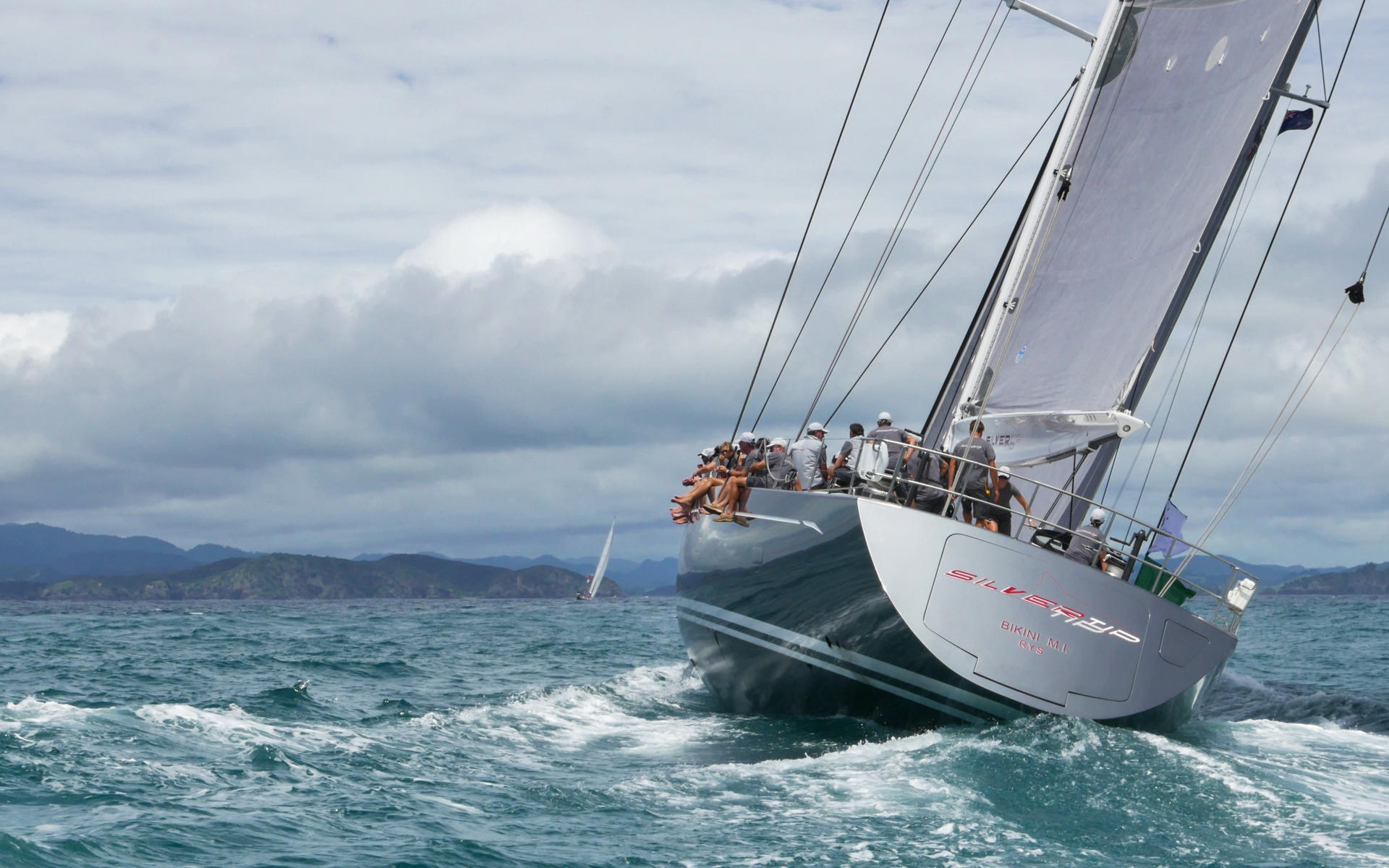 DOING GREAT THINGS?We capture moments that matter
